
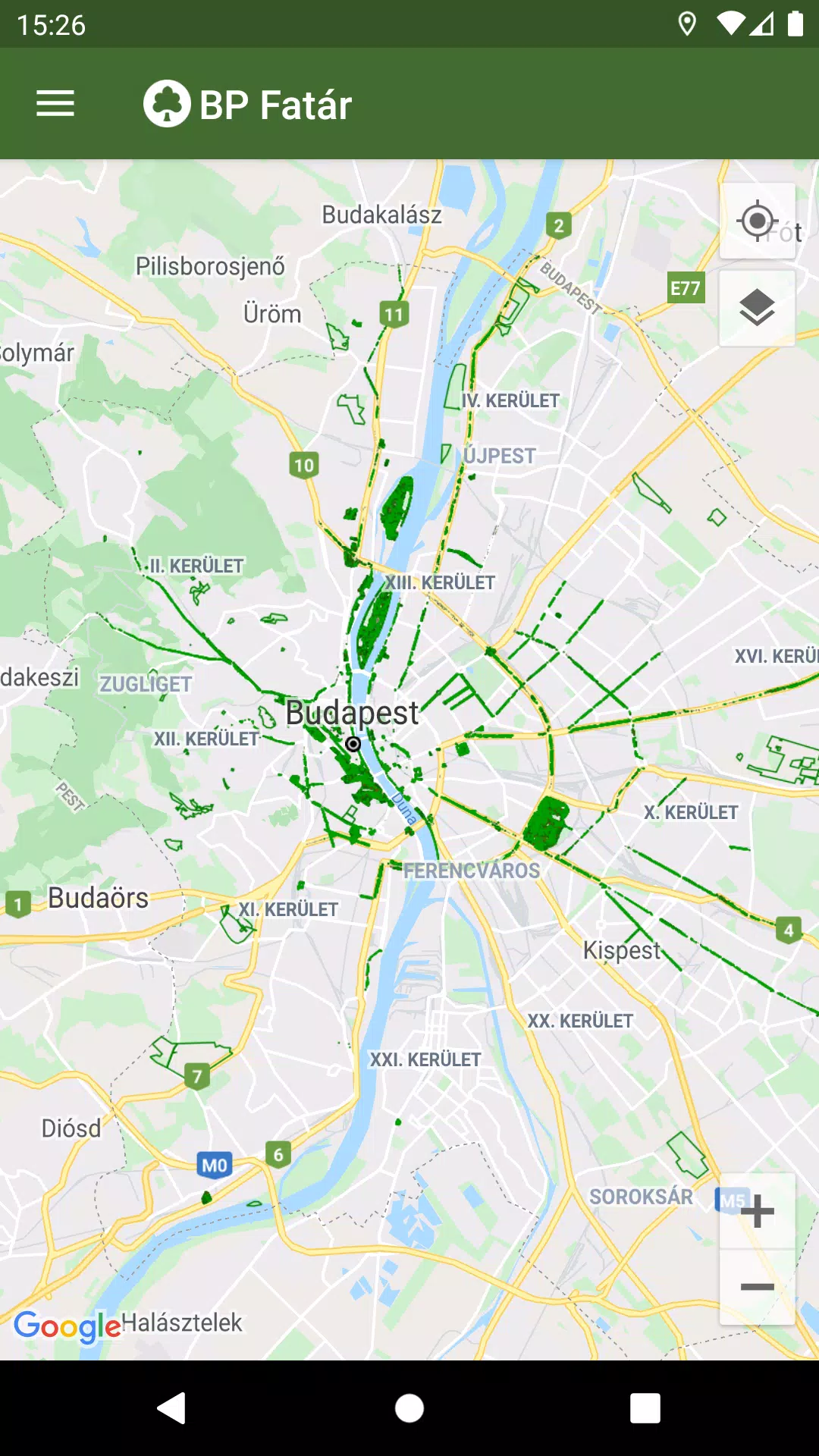
Discover the comprehensive tree and park cadastral services provided by FőKERT through the BP Fatár application. This official tool allows you to explore not only the public tree and park cadastre of FőKERT but also extends to various district municipalities including:
- I. district municipality
- VI. district municipality
- X. district municipality
- XI. district municipality
- XIII district municipality
- XIV. district municipality
- XVIII district municipality
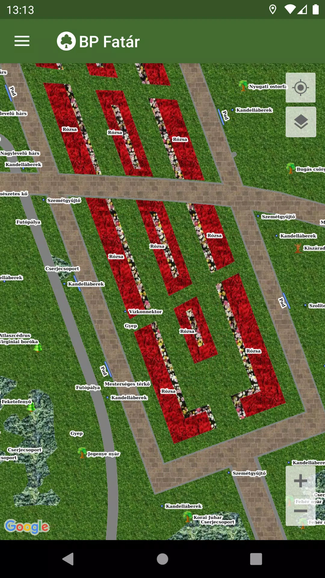
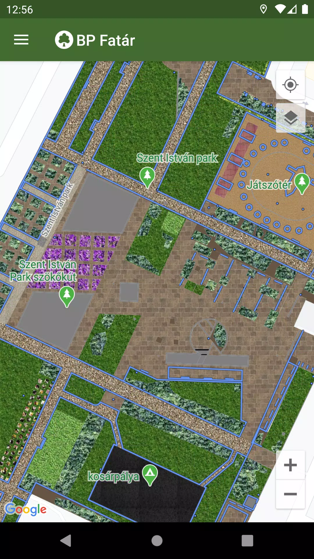
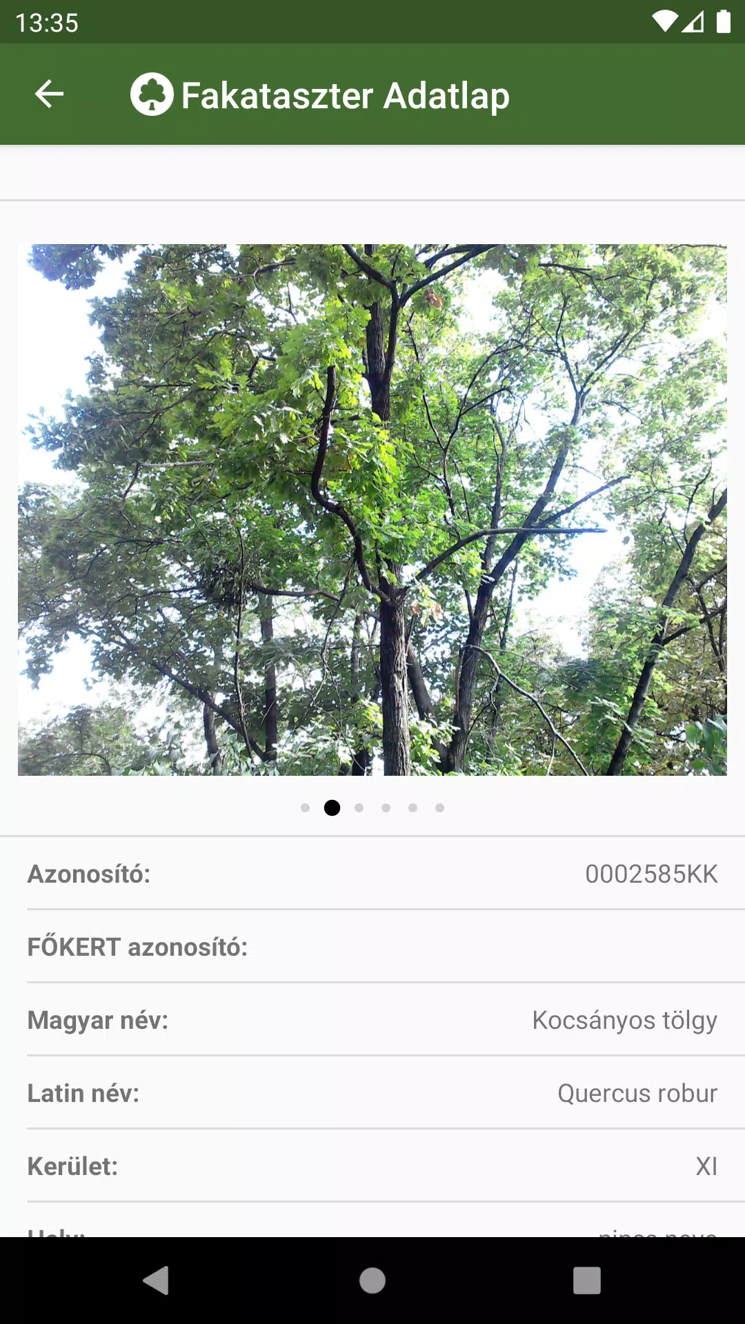
To use the application, simply navigate on the map to your area of interest. Click on the points, lines, or surfaces that represent cadastral elements to access detailed data sheets. These sheets provide in-depth information about the selected elements and include accompanying photos for a better understanding.
Enhance your experience with our integrated search engine designed to streamline navigation:
- Search for specific tree species using the tree scanner, which supports both Hungarian and Latin names.
- Explore park cadastres by browsing through categorized groups.
Both search options will highlight the locations of all matching cadastral elements on the map, making it easy to pinpoint what you're looking for.
If you notice any issues, such as a damaged tree or bench, you can report these directly to the data manager's employees listed on the data sheet. Simply click the "Error report" button on the relevant element's data sheet to initiate the process.
What's New in the Latest Version 1.5.2
Last updated on Oct 20, 2024
Bug fixes.
1.5.2
3.6 MB
Android 5.0+
hu.infogarden.fokertapp